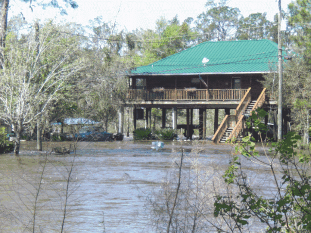
Santa Rosa residents, take note. Federal Emergency Management Agency (FEMA) recently released updated flood hazard maps for public review and comment prior to final adoption. All residents, property owners, and businesses should review these preliminary maps to ensure they have adequate flood ensure when the new maps take effect. Once approved, the new flood zones will be used to set flood insurance rates. These preliminary interactive flood maps are available online at www.santarosa.fl.gov, under Floodplain Management.
The preliminary flood map products provide an early look at the county’s projected risk to flood hazards identified by an in-progress flood hazard study. The data may include new or revised Flood Insurance Rate Maps (FIRM), Flood Insurance Study Reports (FIS) and FIRM Database.
- A FIRM is the official map that shows the specific flood hazard areas and the risk zones. The risk zones indicated on a FIRM provides a basis for establishing flood insurance coverage premium rates through the National Flood Insurance Program.
- The FIS reports provide background information on the analysis performed and provides more precise data on the flood elevations in a community.
- A FIRM Database is the collection of the digital data that is used in Geographic Information Systems (FIS) application for creating new FIRMS.
The preliminary FIRM, FIS and FIRM Database will be presented at two public meetings for residents review the information. Representatives from FEMA will be available to assist and answer any questions.
Wednesday, September 28, 4-7 p.m.
Public Services Media Room
6051 Old Bagdad Highway in Milton
Thursday, September 29, 4-7 p.m.
Tiger Point Community Center
1370 Tiger Park Lane in Gulf Breeze
“There are some significant changes. The last whole-county flood map revision was in 1985,” said Karen Thornhill, floodplain manager. “We encourage all of the residents of Santa Rosa County to find their flood zone, attend a meeting to ask questions and be sure they have ample flood insurance.”
Residents will have an opportunity to appeal their flood zone during the 90-day public comment period planned to occur sometime between November 2016 and April 2017. This appeals period will allow citizens an opportunity to appeal changes in flood zones, floodways and base flood elevations based on scientific or technical issues.
As the FEMA maps change, Santa Rosa County is ensuring its flood ordinances are in compliance with the National Flood Insurance Program, which provides discounts to homeowners in special flood hazard areas. Through this program, county residents received approximately $1 million worth of discounts annually. The unincorporated areas of Santa Rosa County and the town of Jay are a rated a class 5 with the program, receiving up to a 25% discount. The cities of Milton and Gulf Breeze are rated a class 6, receiving up to a 20% discount.
The start of the county’s six-month compliance period is expected to occur between May and July 2017. A letter of final determination will be issued by FEMA stating that the preliminary Flood Insurance Rate Maps will become effective in six months. The effective date of the new FIRM and Base Flood Elevations is planned to occur sometime between November 2017 and January 2018.


